Photogrammetry
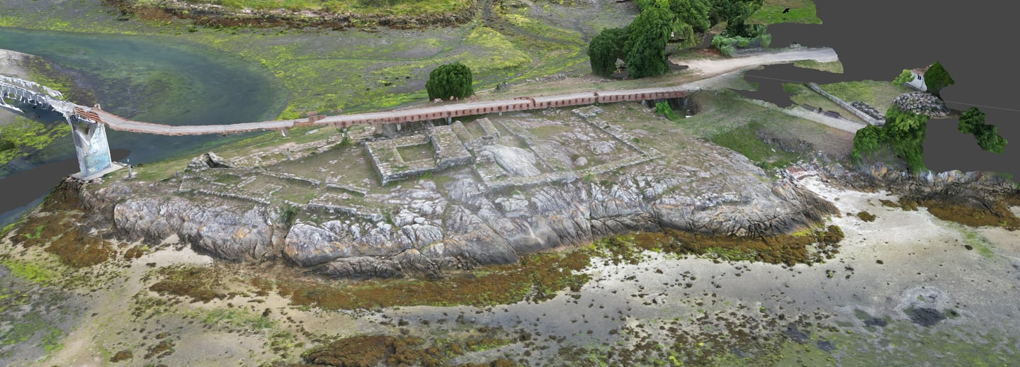
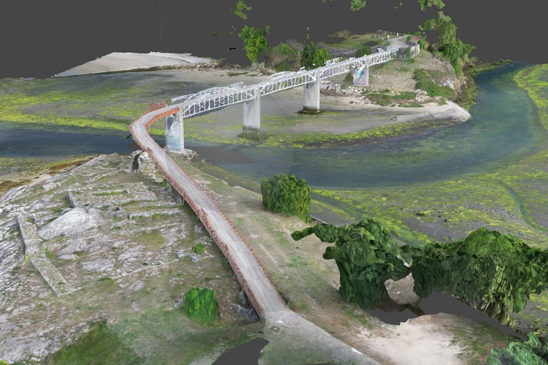
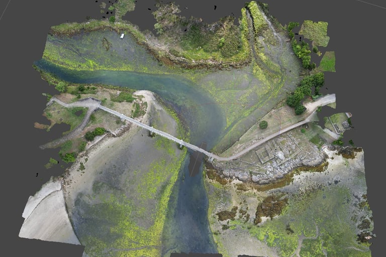
Our drone photogrammetry service offers an advanced and efficient solution for capturing geospatial data. Using drones equipped with high-resolution cameras and RTK positioning, we generate detailed 3D models and accurate orthomosaics, ideal for applications in surveying, mapping, agriculture, construction and more.


Aerial Photogrammetry
EASA certified pilots
At Ibermarine, we have a team of highly trained drone pilots certified by the European Aviation Safety Agency (EASA) in categories A1, A2, A3 and STS. This certification guarantees that our pilots meet the highest standards of safety and competence, offering a professional and quality service in each project.
Ventajas de nuestro servicio:
Precision and Detail: Obtain geospatial data with millimeter precision and an exceptional level of detail, thanks to our advanced capture and processing techniques.
Speed and Efficiency: Drones allow large areas to be covered in less time than traditional methods, providing quick results without compromising quality.
Accessibility and Safety: We carry out surveys in difficult or inaccessible terrain safely, minimizing risks for personnel and equipment.
Analysis and Reports: We offer complete analyzes and detailed reports that facilitate informed decision making and optimize project planning.


Localización
Galicia
España
Horario
L-V 9:00-20:00
S-D Cerrado
Contacto
+34 665098084 / +34 652395677
info@ibermarineprojects.com


