Oceanography and Hydrography
We offer a complete bathymetry service that covers all stages of the process, from data surveying and processing to the generation of detailed reports and specialized analysis. Our services include:
- Data Collection and Processing: We capture and process bathymetric data with high precision for an accurate representation of the seafloor.
- Volume Calculation: We perform accurate volume calculations, essential for dredging and construction projects
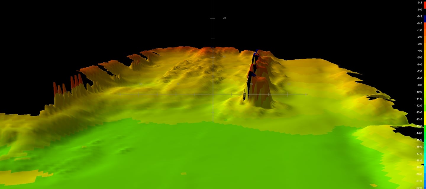
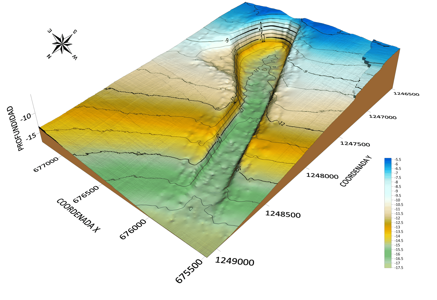
- Generation of 3D Plans and Surfaces: We create detailed plans and 3D models that facilitate the visualization and planning of projects.
- Study of the State of Structures: We evaluate the state of underwater structures, providing critical information for their maintenance and repair.
- Works Planning: We offer support in the planning of maritime works, ensuring that all decisions are based on accurate and current data.
- Pipe and Cable Profile: We inspect and profile underwater pipes and cables, guaranteeing their correct installation and operation.
- High Definition Inspections: We perform detailed, high definition inspections, providing clear images and accurate data for a thorough evaluation.

Experience and Professionalism:
We have a highly qualified team with extensive experience in the sector. We are committed to delivering accurate, high-quality results on every project.
Our vision
We focus on meeting the specific needs of each client with personalized solutions and excellent service.

Our Equipment
Our bathymetry service is supported by leading brand equipment, including the Reson SeaBat 8125 multibeam echo sounder, Coda Octopus F180 GPS with Inertial Measurement Unit, and PDS 2000 software. The Reson SeaBat 8125 is known for its ability to generate High resolution and precision with up to 512 beams, 455 kHz, a scanning angle of 120 degrees, and a depth resolution of 6 mm. This equipment provides a detailed representation of the seabed, allowing accurate and reliable detection.
The Coda Octopus F180 GPS with IMU complements this capability with its advanced RTK navigation and positioning technology, delivering accurate real-time position and orientation data. This combination of technologies ensures that our bathymetric surveys are highly accurate and efficient by having the positioning system and the Inertial Measurement Unit in a single unit.
We use PDS 2000 software to process and visualize the collected data, allowing us to offer detailed reports and comprehensive analyzes tailored to the specific needs of each project. With these resources, we provide comprehensive solutions for hydrographic studies, underwater infrastructure inspections and marine research projects, ensuring the quality and accuracy that our clients require.
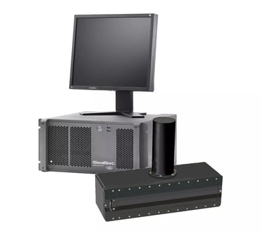

Reason Seabat 8125
Whith upgrade
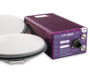

Coda Octopus F180
Positioning system with built-in IMU
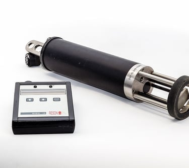

Reason SVP-10
SVP
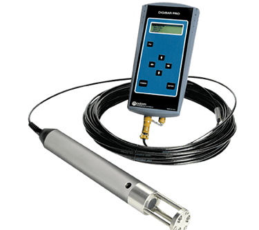

Teledyne Odom Digibar Pro
SVP
Localización
Galicia
España
Horario
L-V 9:00-20:00
S-D Cerrado
Contacto
+34 665098084 / +34 652395677
info@ibermarineprojects.com
